Origins of the Urban Development of Pondicherry According to Seventeenth Century Dutch Plans
Book Specification
| Item Code: | NAL439 |
| Author: | Jean Deloche |
| Publisher: | Institut Francais De Pondichery |
| Language: | English |
| Edition: | 2004 |
| ISBN: | 9788184701234 |
| Pages: | 58 (6 B/W Illustrations) |
| Cover: | Paperback |
| Other Details | 11.0 inch X 8.0 inch |
| Weight | 270 gm |
Book Description
The modern plan of Pondicherry shows a large town in gridiron plan which obviously was extended to its present form through controlled urban development.
Some Indian scholars consider that the town was built according to the principles of the ancient Hindu treatises of architecture, particularly the Silpa Sastra. French historians, on the other hand, feel that the plan should be considered as an achievement of << the French mind >>. In fact, the Dutch plans of Pondicherry dated 1693-1694, preserved at the National Archives at The Hague, show that the orthogonal street pattern of the town is a creation of the Dutch.
The Plans of 1693 show that, in Francois Martin's settlement, the streets or lanes were following an irregular pattern, without any shape or symmetry, whereas, in the plans drafted in 1694, during the Dutch occupation, one finds the design of a large new town, with a very regular geometric layout, rectangular blocks of houses, separated by Straight streets, intersecting at right angles. This great urban project of the Dutch Company was adopted by the French who systematically carried out the extensive straightening out of streets into a planned grid, during the first half of the 18th century.
The modern plan of Pondicherry shows a large town in gridiron plan which obviously was extended to its present form through controlled urban development.
To which structure does the geometry of the local settlement correspond? Who is at the origin of this settlement layout? To whom goes the credit for the extension of this orthogonal street pattern with large rectangular building block and its strict enforcement to bring about this unique urban character of today's Poncherry?
The answers given to this question by most historians do not take into account the contribution of the Dutch sources, particularly the plans of Pondicherry dating from the end of the seventeenth century (1693-1694), preserved in the National Archives at The Hague, The Netherlands (collection Leupe, code VEL), which throw considerable light on the original of the urban development of this place and deserve a thorough analysis.
These documents may be classified into two categories. The first ones concern the French trading post they occupied in 1693. The second ones relate to large scale design they had for the new development of the town.
In the first division we find four sets of cartographic documents (with detailed legends).
In VEL 1094, are 3 plans:
One, entitled The district of Podecheri, is a kind of diagram showing the different settlements of the territory;
The other two, The fortress Podecheri and The siege of Podecheri, indicate, on the one hand, the coastal strip where the two stands, on the other jhand, the fort and the main buildings erected by the French.
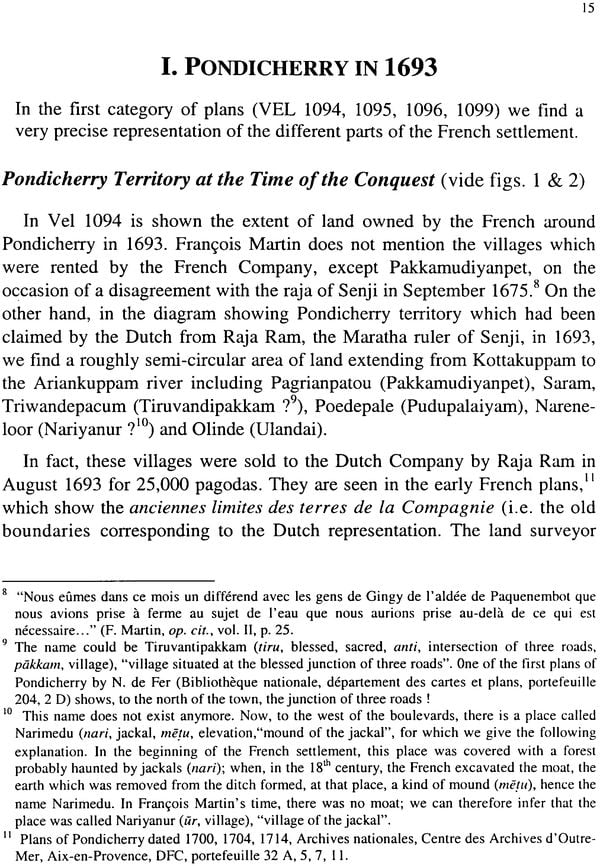
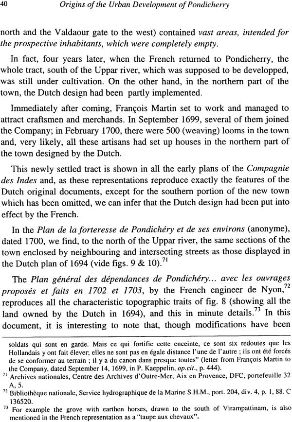
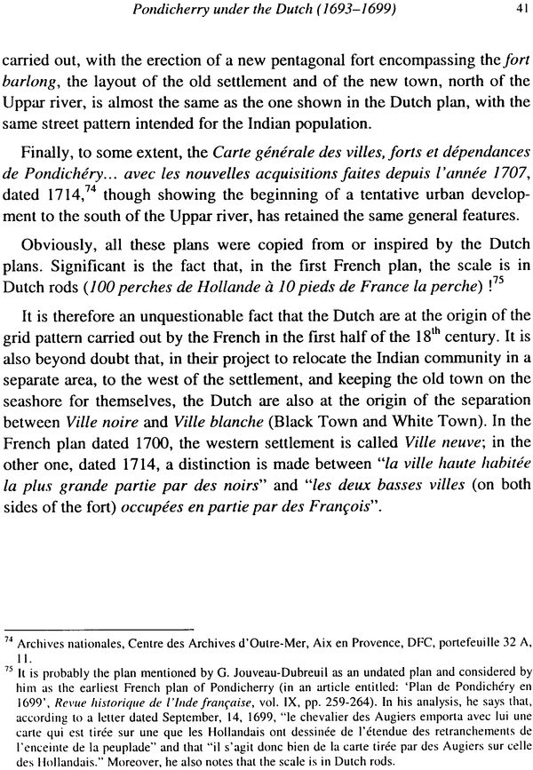
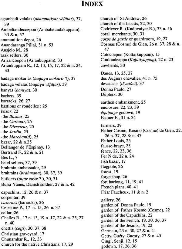
In VEL 095, we find another plan, The siege of the city and the fortress Podechery, 1693, giving a very detailed representation of the town at the time of the siege and showing all the different constructions, gardens, fields, and especially the streetwise distribution of the local castes and craftsmen.
In VEL 1096, is a rough situation-plan of the settlement made after a report by local spies (two topas), with drawings of the main buildings and gardens, entitled Situation of the village of Podechery and the French fortress.
Finally, in VEL 1099, Plan of the fortress Poedechery without the outer works, as it was at the time of the conquest, 30th November 1694, we get a unique plan of the fort, showing the constructions erected by Francois Martin, with all the structures separated by partitions, from the Director's residence to small storerooms and toilets.
These different plans, showing the topographical substratum and the natural features of the surroundings, give us much new information on the French settlement in Francois Martin's time which is not found in French sources and is invaluable.
In the second class of documents are represented the designs made by the Dutch Company for the development of the town, measured and mapped on 20th November 1694 by Jacob Verbergmoes:
VEL 1098, Plan of the fortress and town Poedechery as it is currently being built (with instructions on how to renovate the place), shows the detailed new settlement layout of the town. It is a dichotomous spatial organisation (on the one hand, the fort and surroundings, on the other hand, the Indian establishment), considering the river as the backbone of the new urban area, and using the orthogonal street pattern with rectangular building blocks.
And VEL 1097, Plan of the fortress and town Poedechery with the surrounding villages and rivers, is a large plan which delineates the territory acquired by the Dutch from Raja Ram, the Maratha ruler of Senji, and includes the town "currently being built", a reproduction, on a smaller scale, of VEL 1098.
A Scientific Representation of the Town
All these plans appear to have been made with care and a relative accuracy, especially the last two which have been drawn on a scale of 100 Rhenish rods (1 Rhenish rod =3,76 m), but if we want make a rigorous study of the different elements found in them, particularly of the components of the old town, we have to locate them on a modern plan and produce a scientific representation of these land surveys. Now, since the surveyors of the seventeenth century could not determine precisely the alignments, even if they made correct measurements (the layout of the streets could only be approximate), we need reliable landmarks in order to superimpose the old plans on modern ones.
For the eastern part of the place (the so called Ville blanche), thanks to the works by Jouveau-Dubreuil who several plans preserved in the Archives des Colonies (Paris) and compared them with modern plans, and who, moreover, made excavations at the entrance of the 1750 fort (which originally surrounded Francois Martin's barlong), we know the exact location of many constructions of this period. Using these data, Friar Faucheux made a large plan of the fort area.
This document will be used here as a basis for the drawings and, since the dimensions of Francois Martin's fort did not change until it was demolished, we well make the Dutch representations of the fort coincide with the one given by Friar Faucheux in his plan. This will allow us to find the correct alignments of the streets and the building blocks of the Ville blanche.
For the rest of the town, to the west of the lowland and north of the Uppar river, Friar Faucheux gives only a few distinguishing landscape features, which can be found in the summary plans prepared by him for M.V. Labernadie's book on Le vieux Pondichery. We will again follow these landmarks, particularly the properties owned since the end of the seventeenth century by the religious communities (Jesuits, Capuchins). Thus we will be able to give a correct representation of the Pondicherry in the days of the Dutch.
With these solid points of reference we can start analysis of the plans, after giving a short presentation of the physical setting and an outline of the origins of the settlement.
(It should be notedthat, in the original plans, the various features of the settlement are distinguished by different numbers corresponding to identical numbers in long keys or legends outside the drawings, listing and explaining each conspicuous object. To be perfectly clear, in our presentation of the same documents, we have reproduced these captions these captions (in a simplified form) on the plan itself, opposite each landmark. Sometimes the surveyors have noted down the French names of some of these features in the legends; they are written in italics in our text. Lastly, in our figures, the details given on the military constructions made the siege of the town, such as batteries, soldiers' encampments, observatories, etc, have note been included, since they have no relevance in our study).
Physical Setting
All along the East coast of India, an extensive sandy barrier occurs, backed by a more or less continuous line of tidal lagoons or creeks surrounded by marshy tracts or swamps. In Pondicherry, it stretches out even across the two tributaries of the deltaic Senji River (Ariankuppam and Chunambar rivers), forming lagoons parallel to the shore, especially at the mouth of the former, where there is the largest area of shallow water, surrounding an island named Tengattittu.
To the north of this delta, behind the sand dunes of the shore, there was a belt of grassy and swampy lowlands, a succession of marshes fed by small streams, alternating with cultivated upland. It is near the mouth of the main brook called Uppar, which flows into the Ariankuppam lagoon, that the town originated.
In this area, the natural conditions for a human settlement varied from east to west.
First, these were the sand dunes along the shore, on a higher level and facing the sea, forming a healthy environment which represented a good setting for a group of permanent houses and a community.
Then, behind this elevation, a lower area with rivulets and ponds, unhealthy because of stagnant waters, which could be used as gardens or rice fields.
Finally, to the west, there was a slightly higher tract, also covered in places by large marshes, which was suitable for groves and fruit trees, but also for dwellings.
Early History of the Settlement
Until the arrival of the Europeans, it remained a small town, where there were mainly straw huts and a few brick houses owned by fishermen, weavers and trading castes. Named Pudecheira in the map by Samson d' Abeville dated 1664, called Poule Cere by Gautier Schouten (1658-1665), it was occupied by Danes, who built a house used later by European visitors. The first Frenchman to settle in that place was Bellanger de I' Espinay who arrived there on February 4, 1673.
From this year until 1693 when it was taken by the Dutch, the French, under the command of Francois Martin, managed to set up a factory in this locality, to build a fort, magazines, stores, to attract craftsmen (weavers, painters, merchants, etc). and succeeded, in spite of the difficulties, in making of this small village a fairly large and prosperous settlement. The detailed history of this expansion is well known, as it is described almost day by day by Francois Martin himself in his fascinating Memoires. But there is no cartographic representation of the town for this period in French archives and we don't know how the different parts of the settlement were joined together.
The Dutch plans allow us to have a clear idea of what was, at that time, the nature of the trading post, and particularly its degree of urbanisation.
| Acknowledgments | 7 |
| Introduction | 9 |
| A scientific representation of the town | 11 |
| Physical setting | 12 |
| Early history of the settlement | 13 |
| I. Pondicherry in 1693 | 15 |
| Pondicherry territory at the time of the conquest | 15 |
| The eastern settlement on the sandy bar | 17 |
| The median lowland and the western tract | 19 |
| The fort barlaong | 23 |
| Houses near the fort | 27 |
| Distribution of the Indian population | 28 |
| Concluding remarks | 31 |
| II. Pondicherry under the Dutch (1693-1699) | 33 |
| Pondicherry territory after the conquest | 33 |
| Planning of a new town | 36 |
| Realization | 39 |
| Conclusion | 42 |
| Plates: Photographs of original plans | 45 |
| Works cited | 53 |
| Index | 55 |
