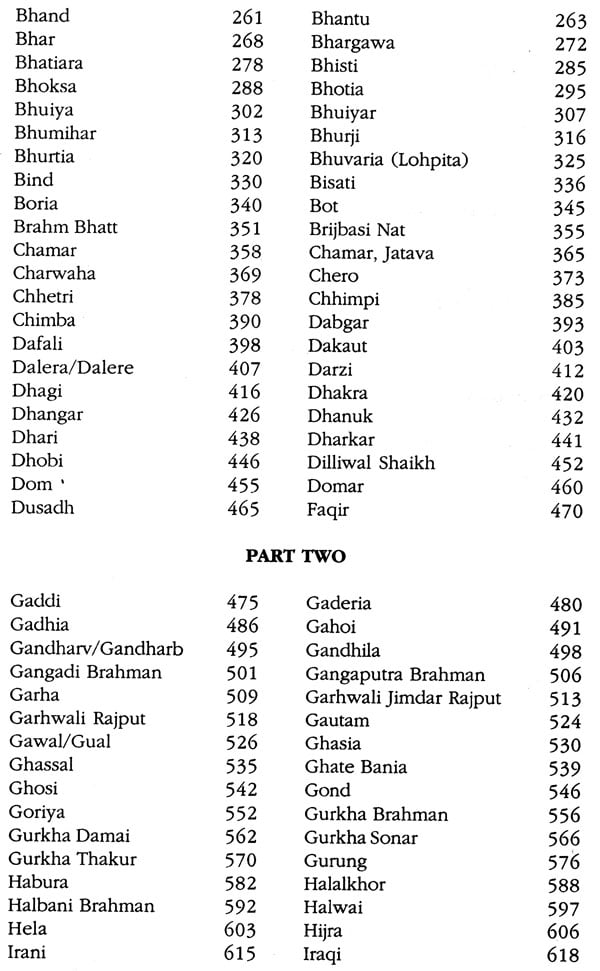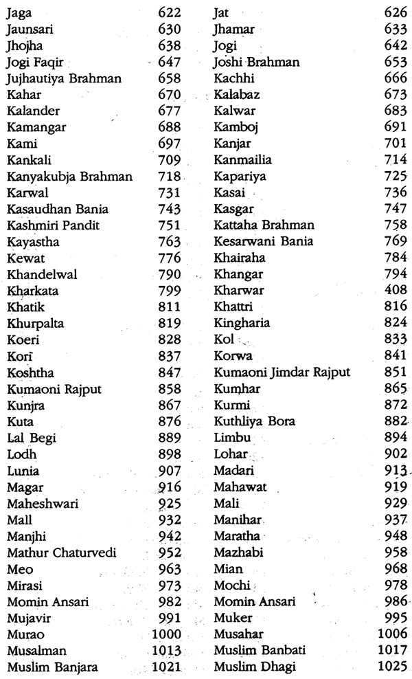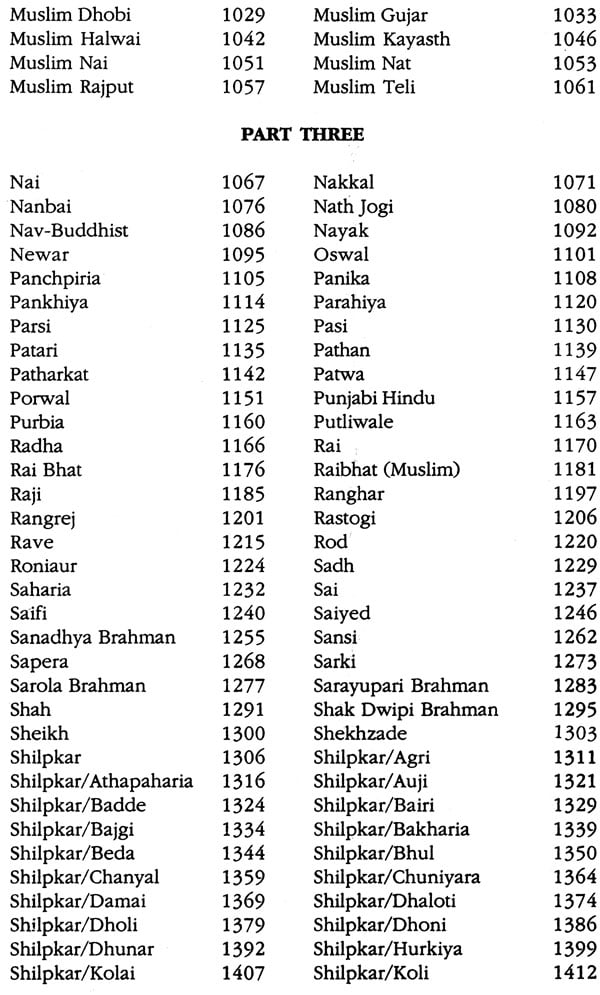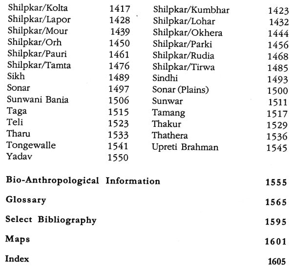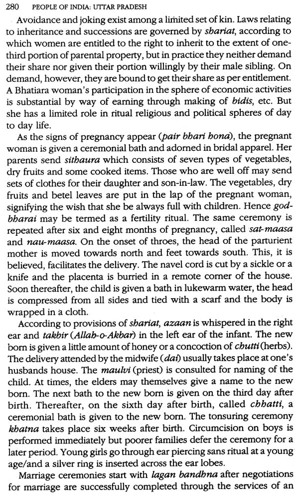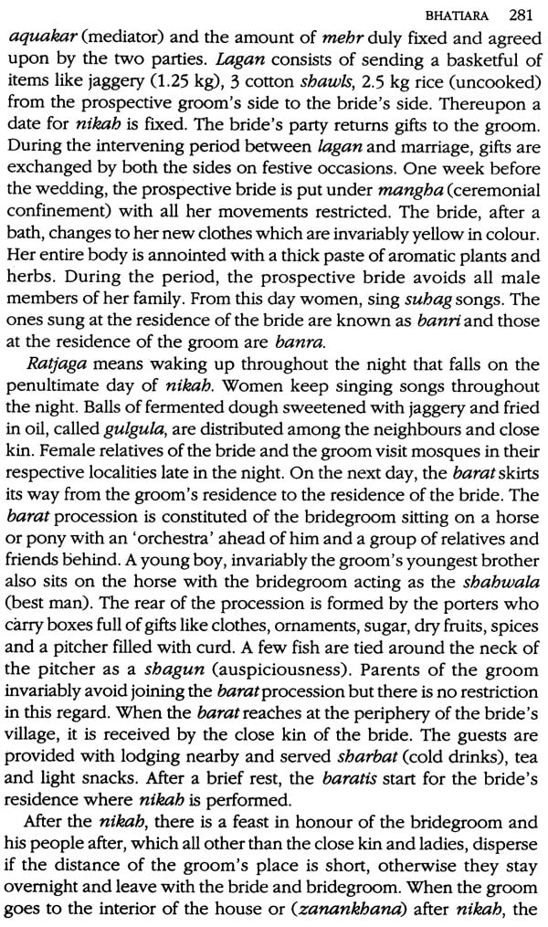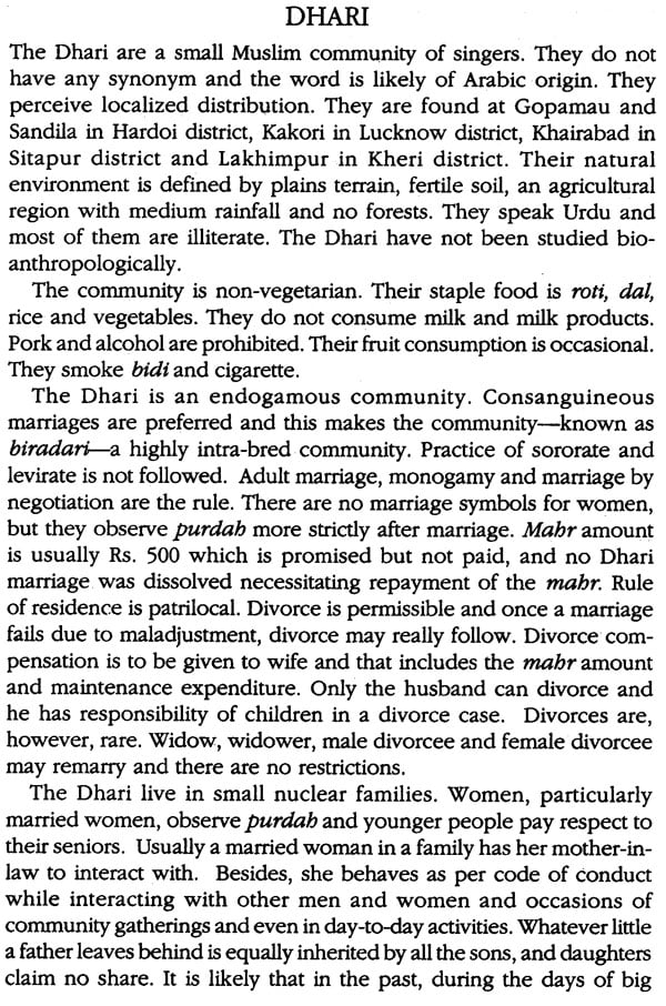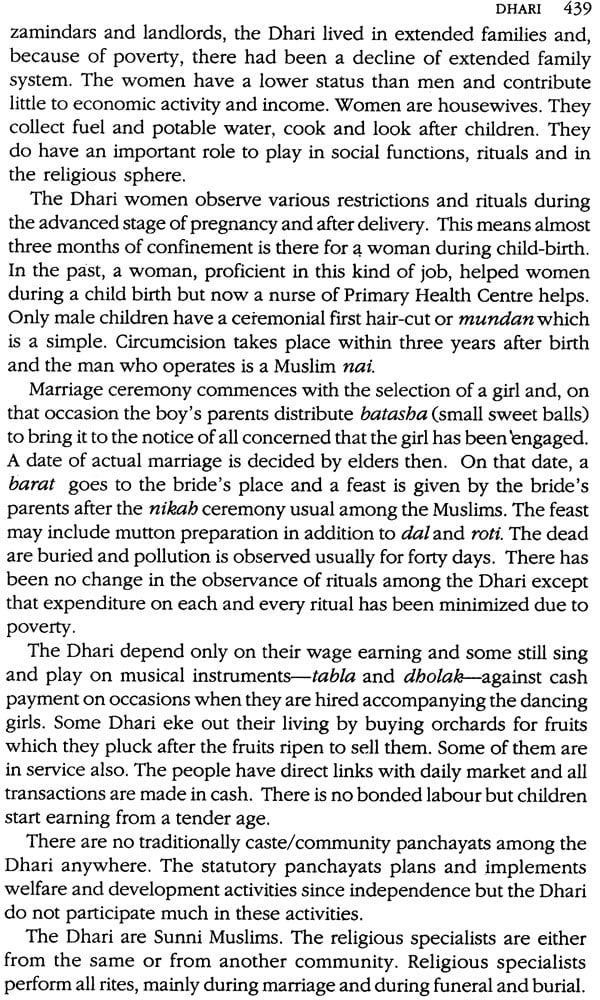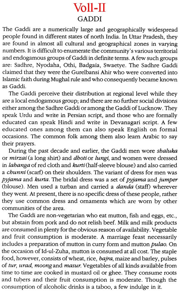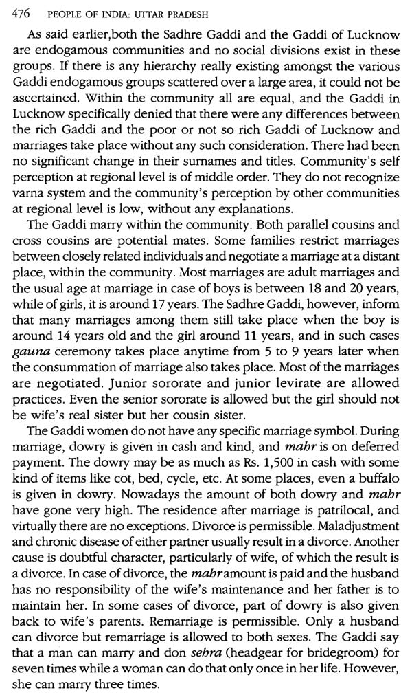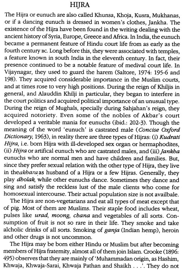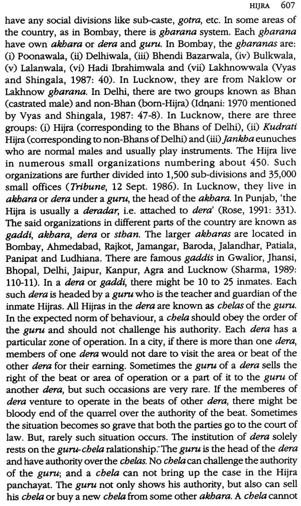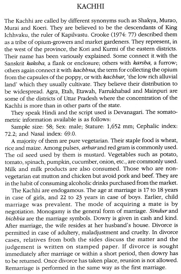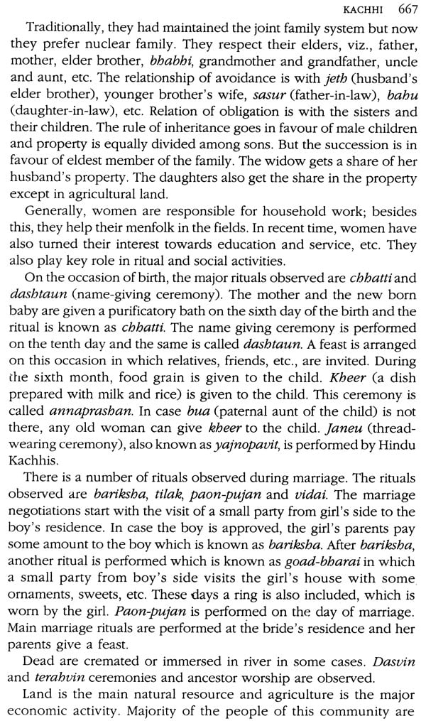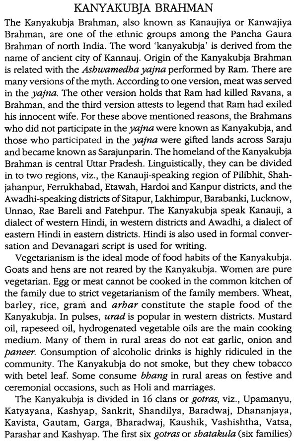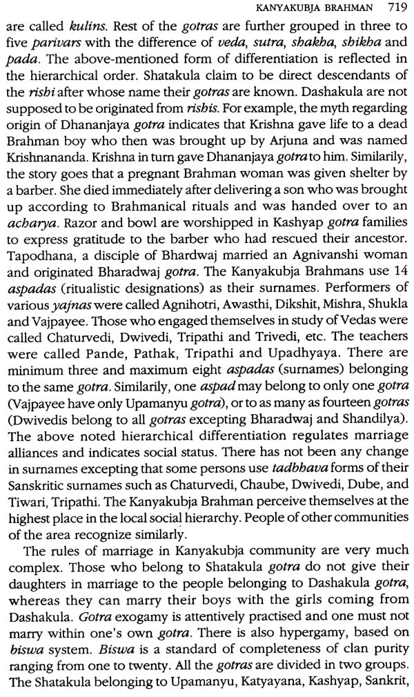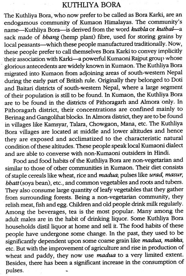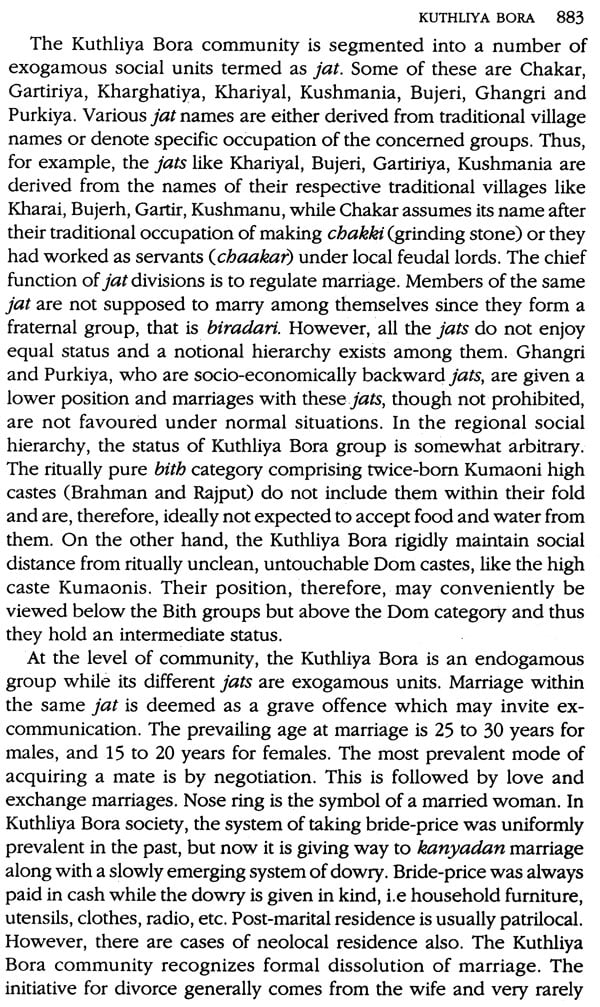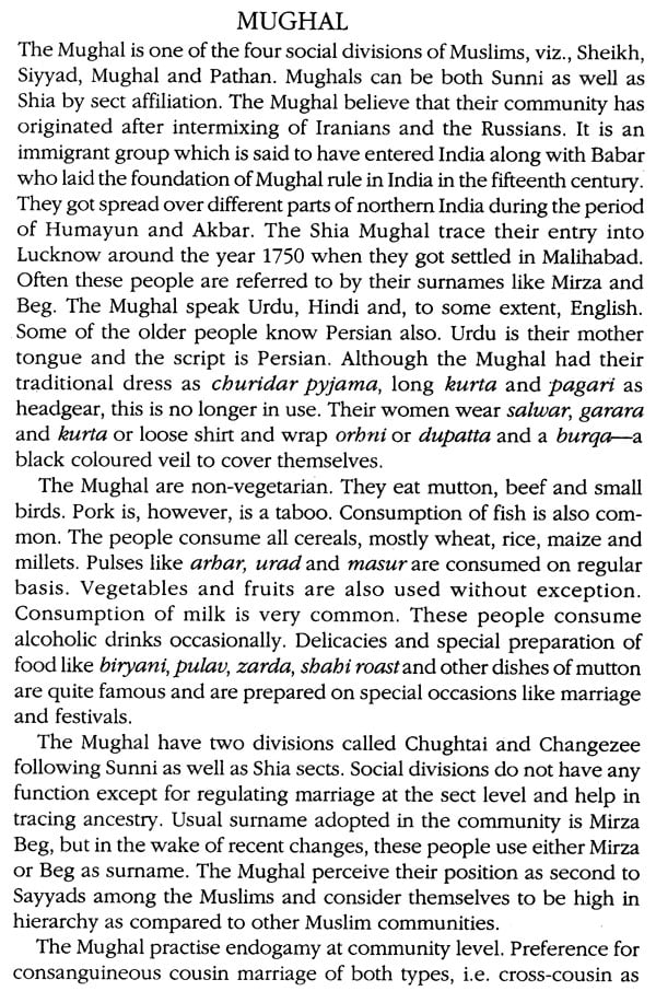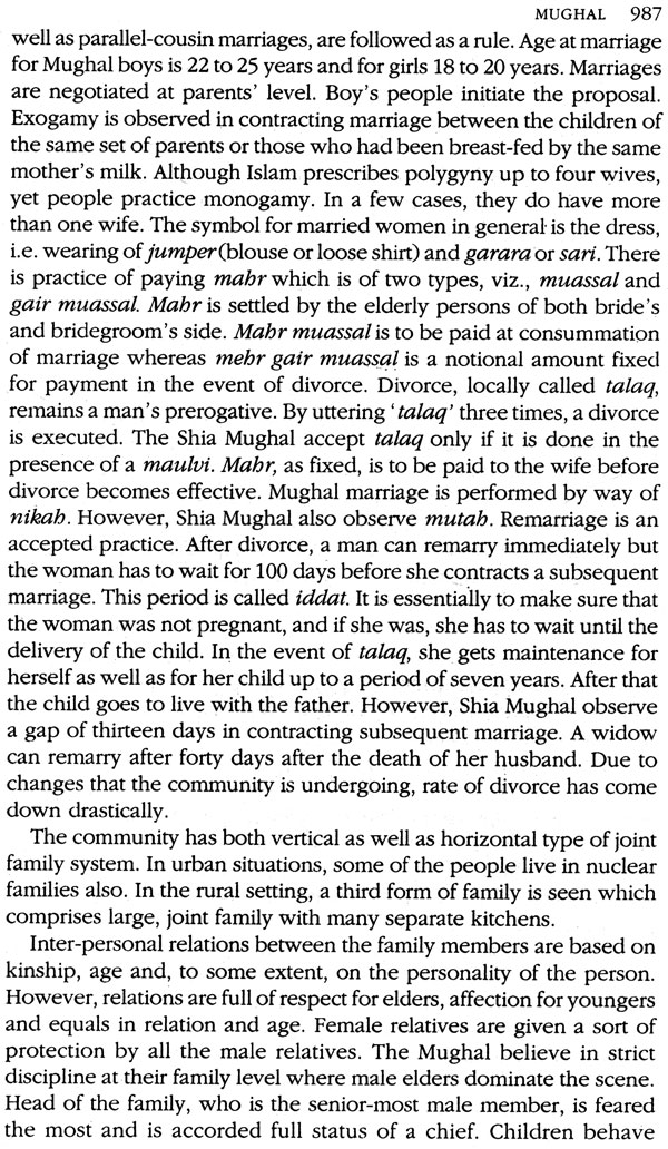
Uttar Pradesh – People of India (Set of 3 Volumes)
Book Specification
| Item Code: | NAR165 |
| Author: | K.S. Singh |
| Publisher: | Manohar Publishers and Distributors |
| Language: | English |
| Edition: | 2004 |
| ISBN: | 9788173041143 |
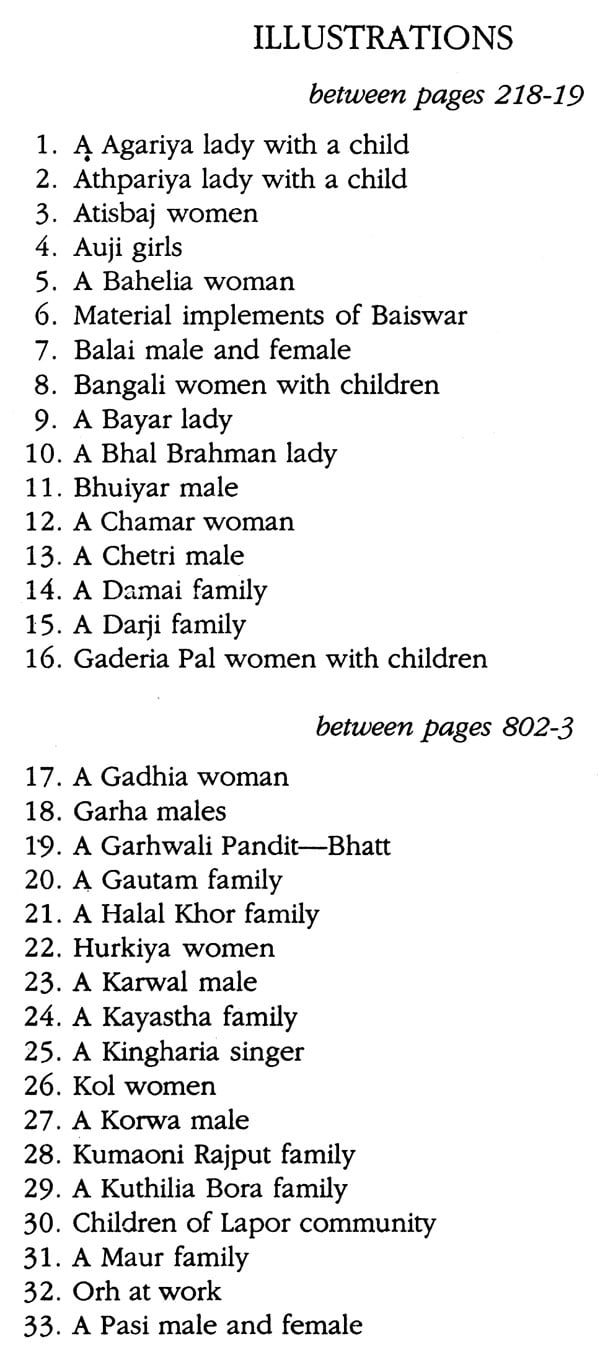
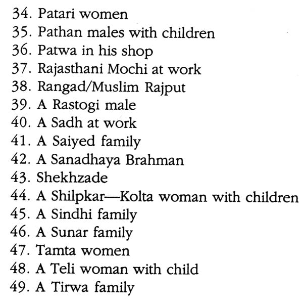
| Pages: | 1775 (49 B/W Illustrations) |
| Cover: | HARDCOVER |
| Other Details | 10.00 X 6.50 inch |
| Weight | 3.10 kg |
Book Description
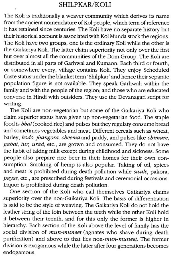
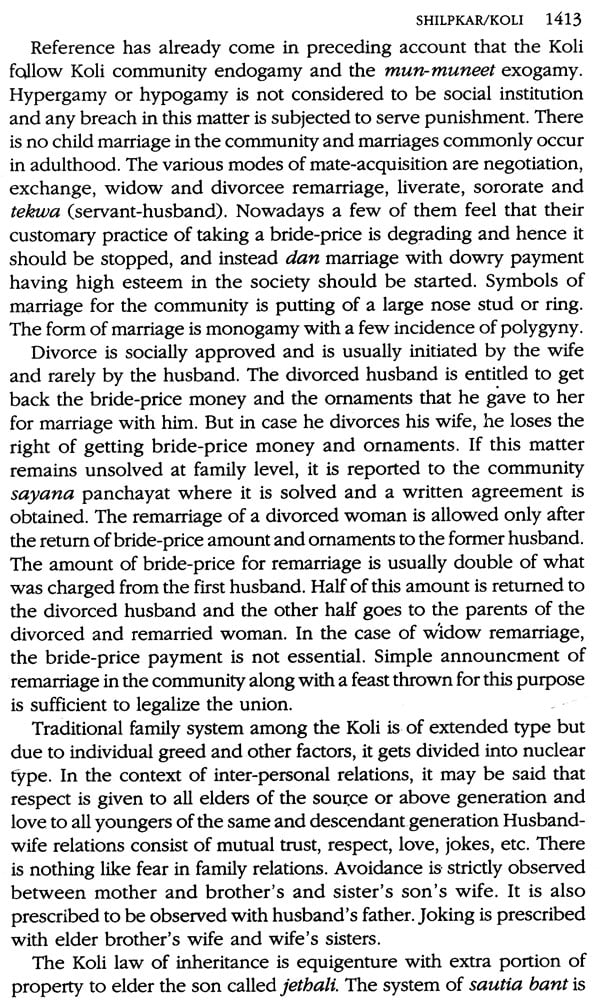
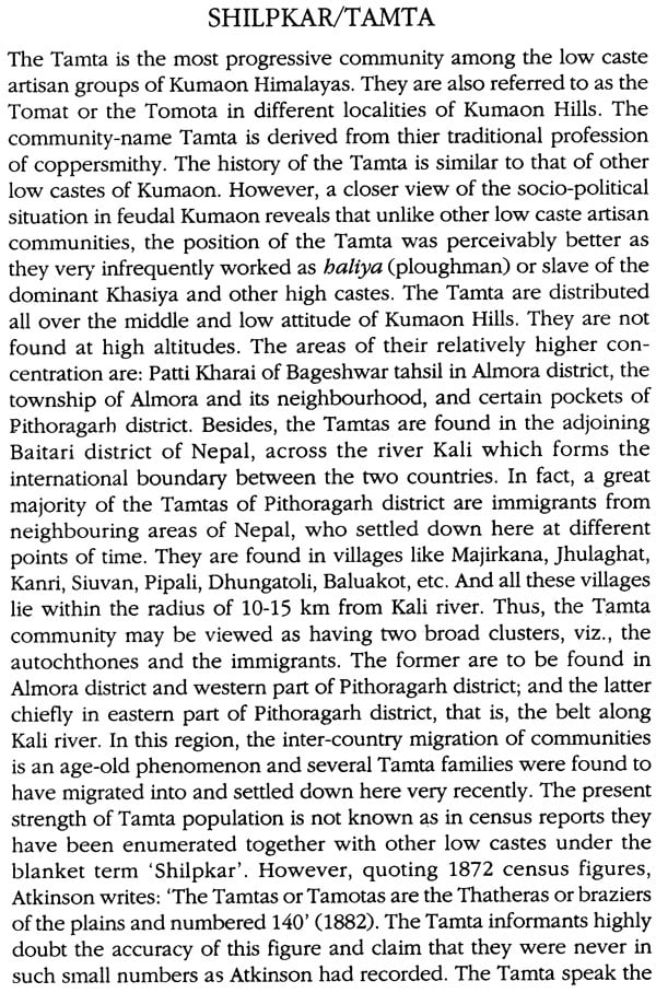
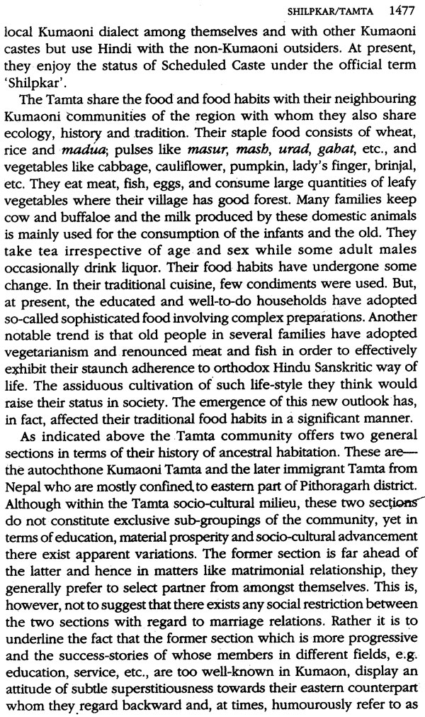
The Anthropological Survey of India launched the People of India (P01) project on 2 October 1985 to generate an anthropological profile of all communities of India, the impact on them of change and development process and the links that bring them together.
As part of this all-India project the first ever ethnographic survey of all communities of Uttar Pradesh (307) was taken up in collaboration with local scholars. The results of the survey were discussed at the workshops held at Meerut University in March 1990 and at regional workshops held in Dehradun in October 1987 and April-May 1991.
Uttar Pradesh, the northern province which derives its identity from its unique geographical and historical situation, constitutes most of what was known as Madhya Desh or the Middle Country of Aryavarta and as Hindustan in the medieval period. The state is divided into three major eco-cultural zones, the mountainous region in the north, the plains in the middle and the hilly regions of the south and six sub-regions defined by dialects. Hindi is the official language widely spoken and there are 36 other languages, mostly belonging to the Indo-Aryan language family.
The most populous state of India, Uttar Pradesh is the second largest state in terms of the number of communities (307) of whom the scheduled castes and minorities form a high proportion. The traits that stand out here are higher incidence of vegetarianism, junior and senior sororate, junior and senior levirate, textual and folk components of life cycle rituals, patriarchal norms, syncretism or a blending of religious traditions, etc.
Uttaranchal known as Uttarakhand in the ancient texts was formed as a separate state on 8 November 2000. The hill people marked by preponderance of the Mongoloid traits, presence of the tribes, relative absence of untouchability, freedom for women in choice of mates and recognition of their property rights, hypergamy and hypogamy, fraternal polyandry, brideprice, etc.
Politically a most important state, Uttar Pradesh remains economically backward with very low female literacy, high infant mortality and low per capita income. In recent years the state has witnessed a remarkable social revolution brought about by the upsurge of Backward Classes and Dalits and transfer of power to these groups through the democratic process. A cultural resurgence is underway.
K.S. Singh is former Director General, Anthropological Survey of India.
Late Amir Hasan, a civil servant, who wrote extensively on ethnography and tribal question in U.P. was a member of the U.P. Public Service Commission, Allahabad.
B.R. Rizvi is Deputy Director, Anthropological Survey of India, Southern Regional Centre. Mysore.
J.C. Das is Assistant Anthropologist (Cultural), Anthropological Survey of India, North Western Regional Centre, Dehradun.
What constitutes Uttar Pradesh today was ethnographically an intensively surveyed region in the colonial period. The U.P. stream was represented by J.C. Nesfield, Inspector of Schools in Oudh at a meeting held in Lahore in March 1885 to discuss the format of an ethnographic survey together with Denzil Ibbetson, Director of Public Instruction in Punjab and H.H. Risley, the officer appointed to prepare a scheme for collecting information regarding the castes and occupations of the people in the systematic manner. Later in his book, Brief view of the Caste System of the North Western Provinces and Oudh, he developed his theory of community of function or occupation, instead of community of kinship as 'the foundation upon which the whole caste system of India was builtup' (Risley 1891). Of all the ethnographers, one of the best known was W. Crooke of Bengal Civil Service who compiled the Tribes and Castes of the North West Provinces and Oudh (1896) in four volumes, before the Ethnographic Survey 1901-1908 was launched in the rest of provinces except Bengal. He came nearest to H.H. Risley in terms of the methodology and content of ethnography and worked comprehensively in the colonial ethnography of the region towards the end of the nineteenth century. Like Risley who believed in race and used anthropometry as a tool for the understanding of social organization and undertook measurements, Crooke was of the view that as caste had been in a state of flux, 'far from being eternal and changeless ... constantly subject to modification', 'the only trustworthy basis for the ethnological survey of Upper India most be based on anthropometry' (Crooke, Introduction).
Crooke was district magistrate of Mirzapore, as part of a long stint of service and his ethnographic work was besides his `multitudinous official tasks'. He described Mirzapore, situated at the tip of the Vindhyan hill ranges, as the last refuge of the 'Dravidian races hike Risley he mistook the Dravidian for a race] living in the mountainous and forest tracts stretched along the great Ganga Yamuna valleys'. As he observed, these people were 'becoming rapidly Brahmanised, and will probably in a few years have lost much of what is peculiar to them and interesting to the Ethnologist and student of the development of popular religion. Even now our Kols, Kharwars, Cheros and Manjhis are much less primitive people than their bretheren whose manners and institutions have been analysed by Colonel Dalton, Mr. Risley and Mr. Hislop. The improvement of communication, the facility for visits to the sacred shrines of Hinduism, the Brahmanical propaganda preached by those most active of all missionaries, the Panda and the Purohit, the Jogi and the Sanyasi will before long obliterate much of the primitive ideas which they will still retain though in a modified form' (Crooke, Introduction).
Crooke's fear has not been proved right and today all communities are conscious of their identity Like Risley and others, Crooke depended for information on the 'much cordial co-operation of district officers and a large body of native gentlemen in the plains'. For investigation, Crooke drew upon such sporadic ethnographic information as existed from the North Western Provinces and Oudh and other areas. Crooke was probably the only ethnographer to discuss the methodological problems such as 'the reticence of the lower caste', and 'the movement among many castes towards claiming a higher status than is usually accorded to them and manipulation of textuality and the variation of the local patios from district to district'. He therefore 'avoided as far as possible discussions of topics which are likely only to cause pain to sections of the people whose pretensions to a higher rank or origin are, to say the least disputed' (Crooke, Introduction).
Crooke was soon to discover that anthropometry was no guide to social organization. As he later observed that there was only a very slight material difference between the 'highest and the noblest born Aryans' with the lowest and 'the humblest born Dravirs'. He, therefore, concluded that 'the racial origin of all must have been similar and the foundation on which whole caste system in India is based is that of function and not upon real or appreciable difference of blood' (Crooke, Introduction).
Crooke was also influenced by Ibbetson and his dynamic view of caste in Punjab. Like his contemporaries he highlighted the heterogeneous nature of castes and historical changes in castes particularly in the medieval period which was marked by the site of new occupations, use of Arabic nomenclature for old occupations and of new Muslim occupational groups.
Crooke was however hampered by his historical view of the medieval period which he described as ethnographically catastrophic.
In fact, in the silence of history, we seem to have only a faint idea of the tremendous bouleversement in Indian society, caused by the invasions of brutal invaders like Mahmud of Ghazni and Sahab-ud-din Ghori. They came like a mighty flood over the land, and left the Hindu political and social organism a mass of ruins. To begin with, they broke the power of the Rajput completely and drove him from the fertile domains of the Ganga-Yamuna valley to the deserts of Rajputana, or the forests of Oudh. It is to this stupendous event that much of the form of modem Hindu society is due. The downfall of the Kashtriya implied the rehabilitation of the Brahman, and the needs of a new race of conquerors, and of a court at no time lacking in splendour, and with the house of Timur rising to unexampled magnificence, gave encouragement to the growth of new industries and the accompanying reorganization of the caste system under a new environments. (Crooke, Introduction)
While disturbances and disruptions did result from the imposition of alien rule and the upper crust of indigenous society crumbled, the communities which remained in the plains showed considerable resilience. The Ain-i Akbari shows the presence of native lineages at local and regional levels. A section of them converted to Islam, others made peace and took up jobs with new rulers.
Another landmark in ethnographic studies was E.A.H. Blunt's Caste System of Northern India to the special reference to the United Provinces of Agra and Oudb (1931) which attempted a theoretical account of caste m a system, and 'describes the factors which brought caste into existence, the evolution of the present system, the nature of the customs common to all castes, the principles which underlie those customs, and the reasons for similarity or difference between castes and castes'. Blunt admitted his book was a 'sort of synopsis of Crooke's work but which also drew on fresh material derived from the census reports of 1901 and 1911. He particularly recorded the customs of the smaller communities, 'the significance of which is ethnographical, not sociological' (Blunt, Preface). Blunt gives a list of more than 500 castes and sub-castes as against 307 communities studied in the People of India (POI) project. This difference in numbers may be because of the consolidation of castes with sub-castes. Blunt has also interesting observations to make on the fluidity of caste, relaxation of caste customs and weakening of links with occupation.
General Background
Uttar Pradesh is the most populous state of India with a population of 139,112,287 (1991 census) and an area of 294,411 sq. Km. It lies between 23.52'N to 31.28'N of latitudes and between 77°10'E to 89.39'E of longitudes covering about 9 per cent of the country's total area. The state is bound on the north by Tibet and Nepal, on the north-west by Himachal Pradesh, on the west by Haryana, Delhi and Rajasthan, on the south by Madhya Pradesh, and on the east by Bihar. For convenience of administration, Uttar Pradesh is divided into 67 districts which are further subdivided into tahsils. The districts are grouped to form 14 mandal (revenue division), each headed by an ayukt (divisional commissioner). Two of these, viz., Kumaon division (comprising Almora, Nainital and Pithoragarh districts) and Garhwal division (comprising Uttarlcashi, Chamoli, Pauri, Tehri and Dehradun districts) cover the Himalayan region of the state, and are often combinedly referred to as Uttarakhand or U.P. Hills.
Physical Features: Geography And Ecology
The salient physical features of the state are the central Himalayan ranges along the north: the central India plateau and Vindhya hills which touch the south-west: the Vindhya plateau and Kaimur hills (a continuation of Vindhya and Satpura hills) which reach the south-east: and the vast alluvial plain of Yamuna-Ganga Doab (extended eastwards by Ghagra and Rapti) which lies between. The state has, thus, four well-defined natural regions, viz., the mountainous tract, the sub-montane tract, the alluvial plain, and the southern hilly tract.
The Mountainous Tract
This region includes the entire mountainous parts of Uttarakhand and form pan of the Himalayan system which, in general, comprises a triple chain of roughly parallel mountains with big and small valleys between the ranges, such as, (i) the snowy ranges or the central chain called Great Himalayan Range; (ii) the trans-Himalayas to the north and (iii) the sub-Himalayas to the south. The mountains of Kumaon and Garhwal are parts of the first and the third chain mentioned above.
Two tributory ranges, Zanskar and Dhauladhar, of the Great Himalayan Range, pass through Kumaon and Garhwal. The former runs a little south of watershed while the latter, the Dhauladhar Range, splits off from the main axis near the peak of Bandar Poonchh (6,315 m) in Tehri Garhwal partly forming the boundary between Garhwal and Himachal Pradesh. There are a series of snowbound lofty peaks of the Great Himalayan Range which are located within this region, some of which are Nanda Devi (7,817 m) Kamet (7,756 m), Dunagiri (7,066 so), Trishul (7,120 so), and Nanda Kot (6,861 m). Besides, there are 17 major passes, e.g. Niti, Mana, Lilang, Untadhura, Darma (or Neo Dhura), Lankpya Leith, Lipu Lelch-to name only a few which served as traditional trade routes to trans-Himalayan Tibetan marts. The rivers in these pans do not descend from the highest peaks but have their sources in the northern Zanskar ranges with their own glaciers such as Gangotri, Yamunotri, Pindar, Milam, and so on.
Lower in height than those belonging to the Great Himalayan Range and its tributory ranges are mountains of the sub-Himalayas which, roughly, make a continuous chain along the entire length of the Himalayas. In Kumaon and Garhwal, this chain, called Nag Tibba, is represented by rows of hills dotted with several charming hill resorts like Lansdowne, Mussoorie, Chakrata, Ranikhet, Almora, Nainital, Pithoragarh, Champawat, etc. A notable feature of the Sub-Himalayan southern part is the location of a lake belt. Besides Naini Tal, other important lakes are Bhim Tal, Sat Tal, Khurpa Tal, Naukuchia Tal, etc. To the further south of the sub-Himalayas lie the Siwalik hills, profusely forested on their sockets slopes, and at places interspersed by splendid valleys or dooms, viz., Dehra Dun, Patti Dun, Kota Dun, Kothri Dun, Churnbi Dun, etc.
The mountainous tract of Uttar Pradesh may be delineated into three broad ecological zones. First is the arid to semi-arid high altitudes of north where rain is either scanty or totally absent, and instead the zone experiences heavy snowfall during winter. Greater part of this zone is highly rugged and hence human settlements lie along the principal drainages only, such as Kali Dhauli, Bhagirathi, Gori, etc. The habitations in high altitude areas of central Himalaya, loosely called Bhot by the middle hill people, are confined to seven valleys, viz., Byars, Chaudans, Darma, Johar, Niti, Mana and Bhagirathi, of which the first four fall in Kumaon and the remaining lie in Garhwal. These high altitude valleys are the traditional abode of the Tibeto-Burman speaking Bhotias who are noted for their pastoralism and earlier trade with Tibet. The valleys witness heavy snowfall during winter, thereby imposing transhumance life style on their inhabitants. Above 19,000 ft and in immediate surroundings of the highest habitations, there exist fine inter-alpine meadows, locally called bugyal or payar, which remain buried under snow during winter. The snow begins to melt by the end of March and the verdure covered pastures become ready for grazing. The second eco-zone includes the middle and lower altitudes and is rich in forest cover. The relatively friendlier geo-physical conditions, viz., topography, climate, temperature, rainfall, etc. of this zone are conducive to agriculture. This zone is inhabited by the Pahari Hindu community who assume broad territorial identities like 'Kumaoni' or 'Garhwali' after the name of their respective traditional abode. The third eco-zone is represented by the Tarai-Bhabar belt of U.P. hills which, from physiographic consideration, falls in the sub-montane tract discussed below.
The Sub-Montane Tract
This natural region covers the sub-Himalayan foothill areas of Kumaon and Garhwal divisions in the west while eastwards it stretches along Nepal border. In the west, to the immediate south of montane zone, lie some small tracts of Bhabar and Tarai, the former located just below the hill slopes, largely covered with forest and the home of tigers and elephants. Since the slopes suddenly decline and courses flatten, the hill torrents which enter Bhabar deposit piles of boulders and gravels, and the sediment cover thus becomes porous. The hilly streams and rivulets, therefore, sink and disappear, except in rainy season, to reappear at the outer edge. The Tarai is a damp marshy strip along the southern margin of Bhabar. Tall grasses and reeds replace the forest in Tarai. The marshy environment has made it a malaria-infested region. It is the traditional habitat of the Tharu, who have successfully withstood the ravages of this disease for centuries. Of late, owing to reclamation, deforestation and rehabilitation schemes, the Tarai has become thickly populated with excellent agricultural production.
**Contents and Sample Pages**

