Preface The Director General, Anthropological Survey of India thought of initiation of a research project entitled Nutritional Status of Indian Population (NSIP) in the Seventh Five Year Plan (1987-1992). It was in 1988 when Shri Malay Kumar Banerjee, Anthropologist (P) and Sri Subodh Kumar Biswas, Research Associate (Biochemistry) were given the responsibility for the formulation of the project. After the initial formulation of the project, the academic formats were circulated to various scholars of the Survey as well as to outside scholars for their comments, suggestions etc. Sri Banerjee and Dr. R.S. Mann, the then Joint Director, attended the second meeting of the steering group of Nutrition on 5th July, 1989 at New Delhi, which was chaired by Prof. P.N. Srivastava, member of the Planning Commission. Sri M.K. Banerjee, Anthropologist (P) and Dr. K.K. Bhattacharya, Biochemist were made coordinators of the project. Before giving a final shape to the project, a pilot survey was conducted in the year 1989 in Raipur and Bilaspur, Madhya Pradesh (now Chattisgarh) by a team consisting of Dr. (Smt) Shampa Gangopadhyay and Smt Sheela Das Gupta under the leadership of Sri Banerjee.
Introduction India belongs to one of the oldest civilisation with a kaleidoscopic and rich cultural heritage. It is the homeland of varied population groups (4635 in number) who differs in many aspect living in different eco niches. It covers an area of 32,87,263 sq.km. extending from the snow cladded Himalayan mountains of the north to tropical rain forest of the south. India is the seventh largest country of the world and is well marked off from the rest of Asia by mountains and the sea which give the country a distinct geographical entity. India comprises of four distinct regions, namely the great mountains zone, plains of the Ganga and the Indus, the desert region and the southern peninsula. Geologically India can be divided into three regions- The Himalayan and their associated group of mountains, the Indo-Ganga plains and the Peninsular shield. Indian rivers can be broadly classified as- Himalayan rivers, Peninsular rivers, Coastal rivers and rivers of the inland drainage basin.
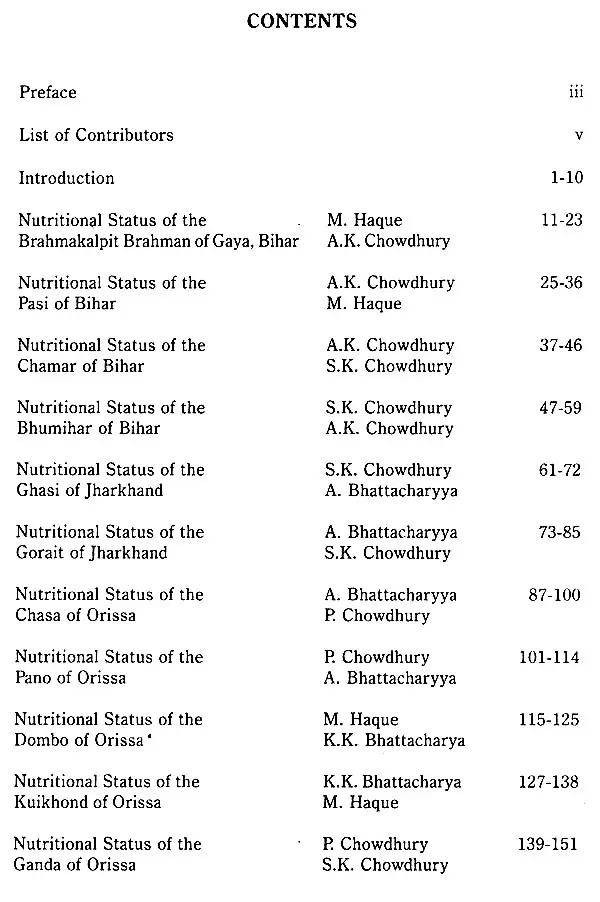
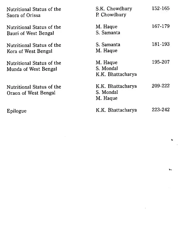
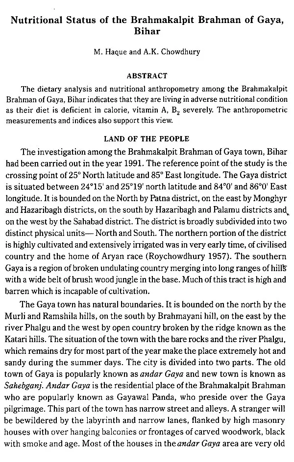
Book's Contents and Sample Pages
